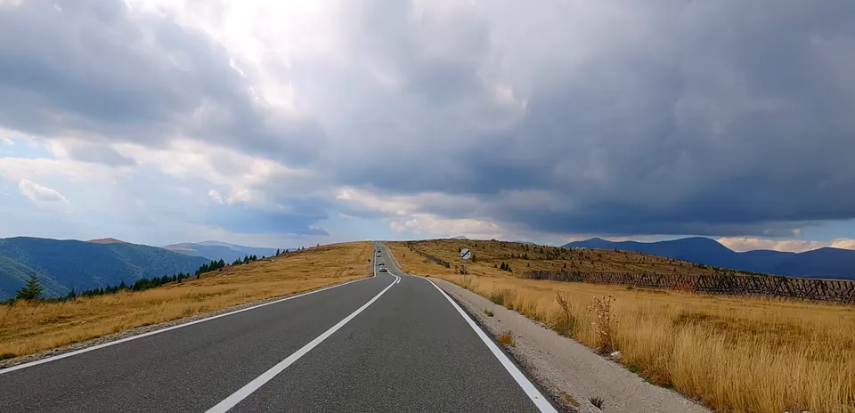
Transalpina South (Part 1, Ranca)
Distance: 18.23 km
Elevation Gain: 1176 m
Elevation Loss: 63 m
Difficulty:
1013 (Hard)
FIETS Index: 7.00 FIETS
Avg Grade: 6.27 %
Max cat climb: HC
Min elevation: 478 m
Max elevation: 1594 m
Ride Category:
Climb
The Transalpina, officially designated as National Road DN67C, is the highest paved road in Romania, reaching its apex at 2,145 meters in the Urdele Pass. Traversing the Parang Mountains from south to north, this high-altitude corridor traces ancient pathways used by shepherds moving flocks between Wallachia and Transylvania. The surrounding terrain features rugged crystalline schists, glacial cirques, and expansive alpine meadows above the tree line. The southern approach begins in the town of Novaci at an elevation of roughly 500 meters, ascending steadily along forested slopes before breaking out onto open ridges with panoramic views of the Southern Carpathians.
Rising along this route, the mountain resort of Ranca sits at approximately 1,600 meters elevation, serving as the main gateway to the high alpine section of the Transalpina. Emerging in the 1930s as a modest shelter managed by local forestry authorities, it expanded significantly into a popular destination for both summer hiking and winter sports. The long, continuous, and steady push up out of Novaci makes the resort a central focal point for endurance challenges and road cycling events, acting as the primary staging point and regrouping zone before riders tackle the final exposed, high-altitude ramps leading to Urdele Pass.